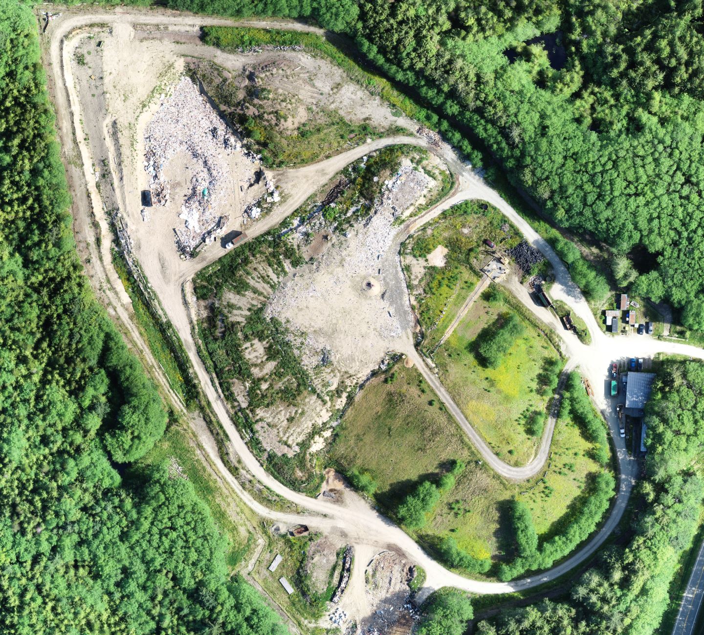
Islands Landfill Aerial Mapping
Location:
Port Clements, BC
Client:
North Coast Regional District
Project Type:
Aerial TopographyDroneX collected aerial survey data and imagery at this 12-hectare site in order to track volume filling progress. Outputs included high resolution ortho photo and surface topography.