Technology
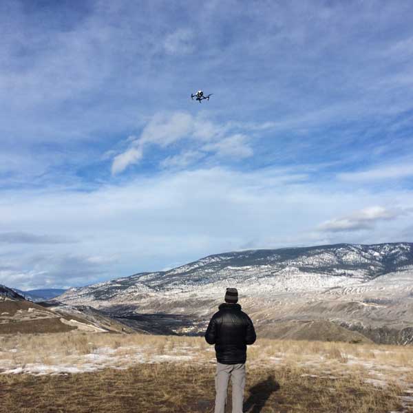
Our Survey-grade RTK Drone can provide 20mp photos with a resolution of 2.5 cm/pixel from an altitude of 90 metres (300 feet).

DroneX has the capacity to survey large areas, up to 120 hectares/day.

In-house AutoCAD Civil 3D for Engineering Design and Volumetric Analysis

DroneX provides GNSS-RTK GPS services to place and calibrate Ground Control Points using local or universal coordinate systems.

3d Terrain Modelling (Virtual Model)


DroneX Survey Inc.
Address:
#8 - 1225 East Keith Road
North Vancouver, British Columbia
V7J 1J3
Phone: (604) 986-7723
e-mail: info@dronexsolutions.com
© 2025 DroneX Survey Inc.